11 July 2026 · Landscape Architecture
Nine millimetres a year, and what it does to a coastline
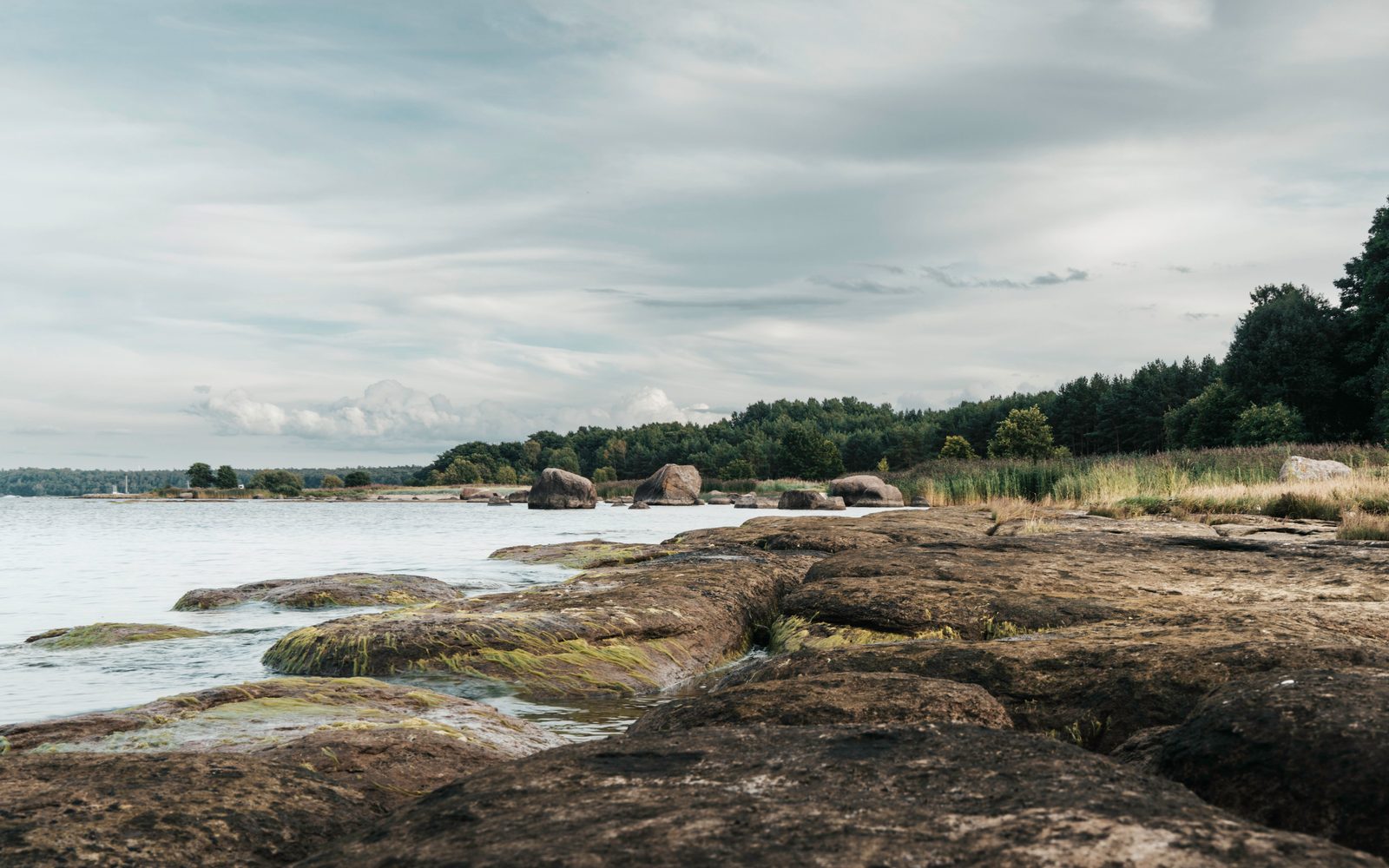
The Kvarken archipelago rises out of the sea faster than any coastline on earth. We design foundations for ground that moves.
The number behind the name
Kvarken took its name from the strait between Sweden and Finland, and from the archipelago on its Finnish side. That archipelago is rising out of the sea at close to 9 millimetres a year, the fastest post-glacial rebound recorded on earth. The ice sheet that once sat two kilometres thick over this coast pressed the land down; it has been springing back since the ice left, and it keeps going. Over the roughly 10,000 years since deglaciation, parts of the Kvarken coast have risen more than 250 metres.
Nine millimetres does not sound like much measured against a ruler. Measured against a design brief, it changes almost everything. A jetty drawn to sit at the waterline this year sits 20 or 30 centimetres above it in three decades. A field survey done for a coastal development permit is, by the time the building opens, already slightly wrong.
What it means for a foundation
Most coastal practices design against water that is rising toward the land. Here the relationship runs the other way: the land is rising out of the water. New islands break the surface inside a working lifetime, land that was seabed on a surveyor's 1980s map. Our own studio in Vaasa sits on ground that was under roughly a metre of water when the town was founded in the 17th century.
That reversal changes the calculation for anything built near this shoreline. A structure set too close to the current waterline is not solving for erosion, it is solving for a shoreline that will have moved away from it. We now design shoreline-adjacent buildings with a rolling setback, reviewed against updated land-uplift survey data every five years rather than fixed once at planning stage.
Working with a moving line
On the Salt Line Pavilion, a shelter we built on the tidal flats south of Vaasa, we set the lowest structural point 45 centimetres above the current mean high-water mark, with the expectation that the flats themselves will keep exposing more ground through the pavilion's working life. The foundation piles were driven deep enough to sit in stable glacial till rather than the shifting upper layer of newly exposed seabed, which compacts unevenly for the first few decades after it surfaces.
The uplift also changes what counts as a site. A parcel that reads as tidal flat on a current survey can be buildable land within a single mortgage term. We keep a standing relationship with the regional land survey office in Vaasa specifically to track which parcels are due to cross that line next.
The archipelago keeps the discipline honest
Every project we take on near this coast gets checked against the same fact: the ground under it is not fixed. That is uncomfortable for a profession that likes permanent answers, and it is also the most honest starting point we have found. A coastline that is still forming asks a building to be precise about time, not just about space.
A working model, not a one-off calculation
We keep a single uplift model for the whole coastal stretch we work in, updated against the survey office's figures rather than rebuilt per project. Every new brief within roughly 5 kilometres of the shoreline runs through that same model before the first sketch, so a jetty and a swim hall and a transit forecourt on the same stretch of coast are all measured against one consistent number, not three separate guesses. It is a small piece of infrastructure inside the studio, and it has caught more than one site plan that would have read fine on a current survey and wrong within a decade.
FAQ
How fast is the Kvarken coast actually rising?
About 9 millimetres a year, based on regional land-uplift survey data. It is the fastest post-glacial rebound measured anywhere on earth.
Does the uplift affect every project you design near the coast?
Any structure within the tidal or near-shore zone gets checked against updated survey data, generally reviewed on a five-year cycle rather than fixed once at planning.
How long has the coast been rising?
The uplift began around 10,000 years ago after the last ice sheet retreated, and parts of the coast have risen more than 250 metres since then.